1
1
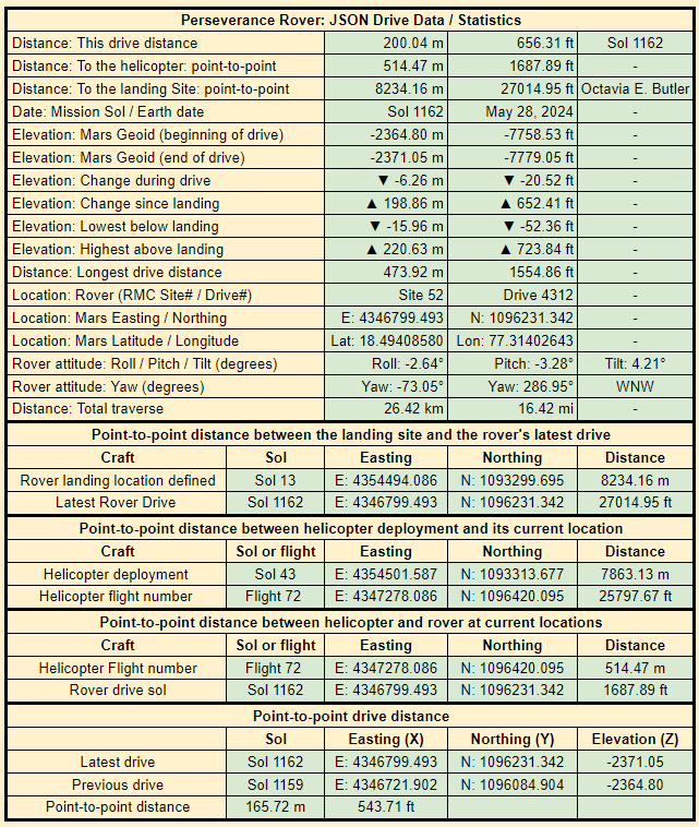
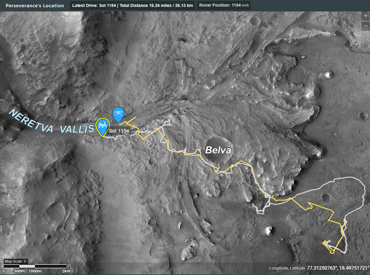
1176 - Drive Data (extracted from JPL's JSON URLs)
(lemmy.world)
NASA/JPL-Caltech

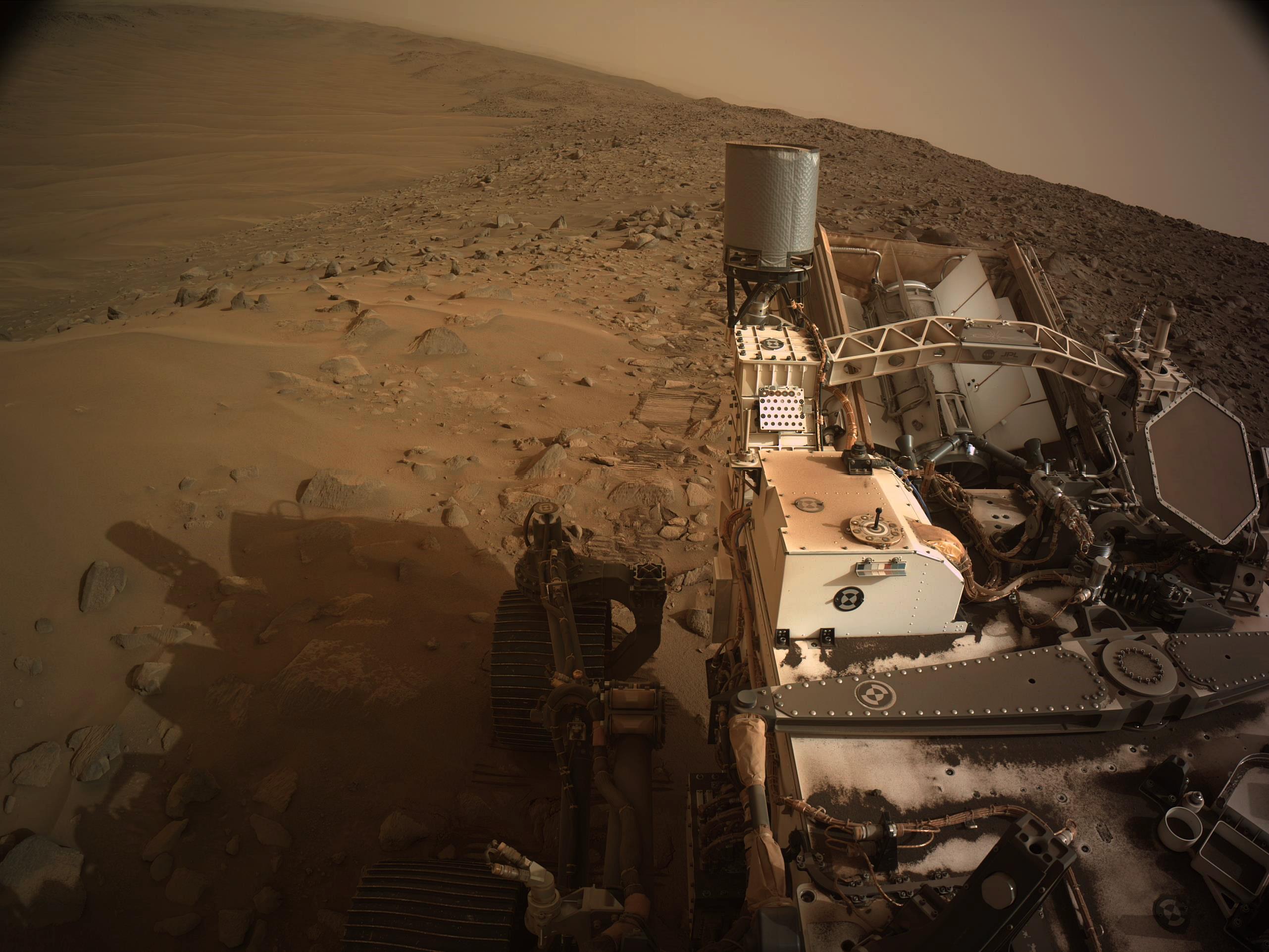
End of drive tiled L-NavCam - The drive was ~30 meters (98.5ft)
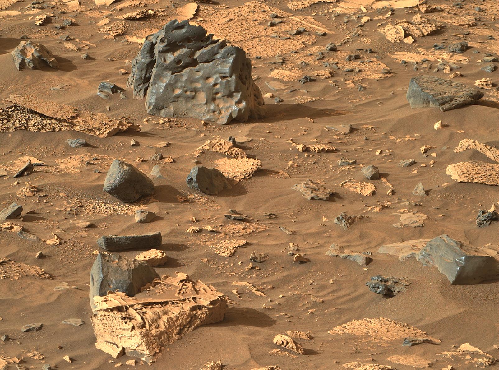
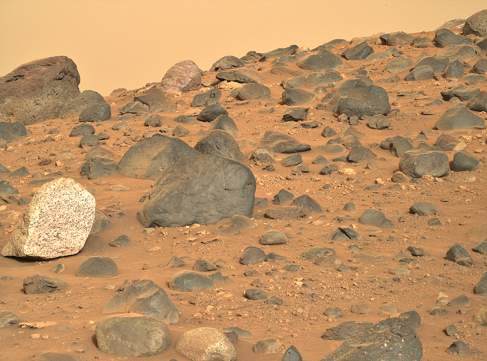
The light toned bedrock is 'Bright Angel'. Possibly the oldest rocks in the crater. It was selected for investigation prior to landing.
When the rover is finished at this location it will begin the drive out of the crater...
NASA/JPL-Caltech

R-MastCam-Z (zoom 63mm)
NASA/JPL-Caltech/ASU/MSSS
Bright Rocks and “Bright Angel” - Perseverance Rover mission update, June 10, 2024.
Last week the Perseverance rover descended into Neretva Vallis, an ancient river channel that brought water into Jezero Crater billions of years ago. Rocks found in Neretva Vallis could have come from far upstream, giving us the opportunity to examine material which may have come from many kilometers away. Turning north into the channel has allowed us to complete longer drives, a refreshing change of pace from the rugged terrain we tackled in the Western Margin.
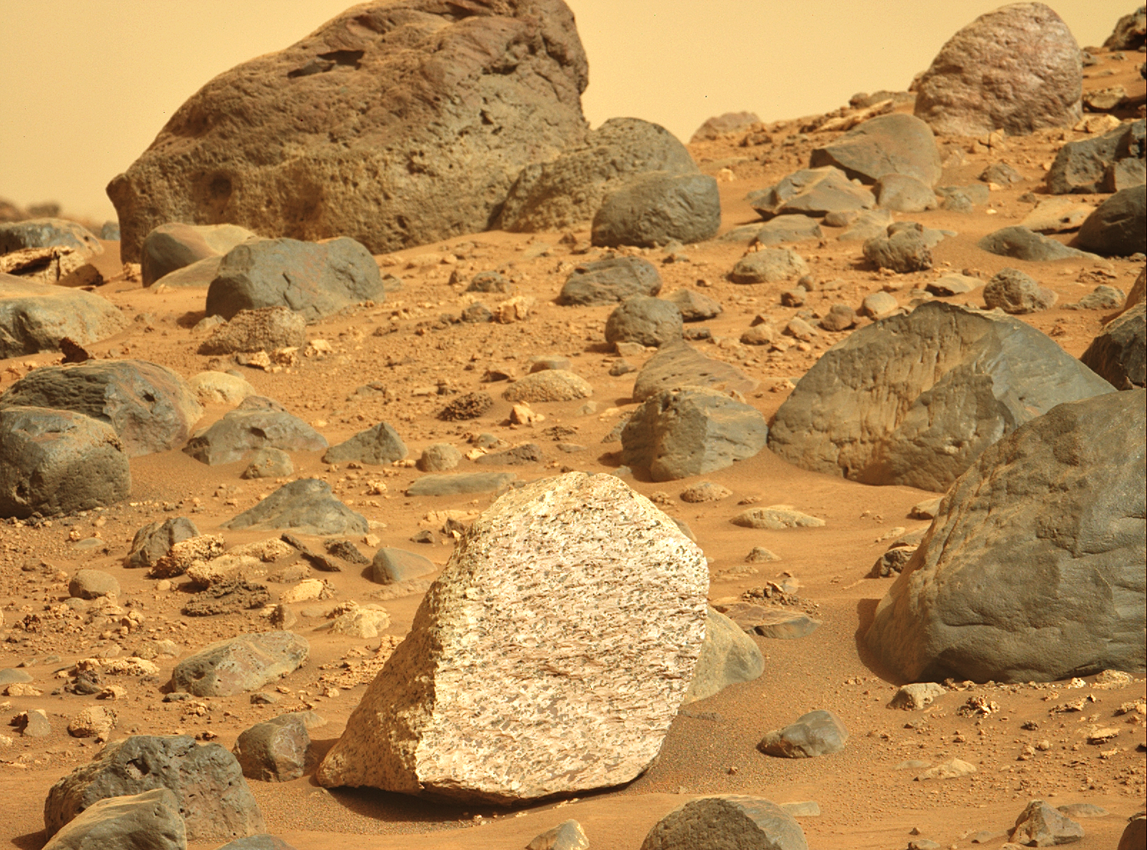
Dodging dunes at Dunraven Pass, we approached Mount Washburn, an outcrop which our Mastcam-Z camera identified from a distance as having spectrally diverse boulders and patches of lighter-toned bedrock. Upon arriving, we were amazed by the variety of colors and textures in the rocks around the rover and immediately got to work planning observations with our remote sensing instruments. Much of our focus was on “Atoko Point”, a bright boulder with dark speckles. After acquiring numerous Mastcam-Z multispectral images and zapping Atoko Point with our SuperCam laser, we began to look towards our next goal: “Bright Angel”. This exposure of light-toned rock, northwest of our current location, stands out vividly in orbital imagery. By examining outcrops at Bright Angel and assessing stratigraphic relationships (i.e. the vertical sequence and stacking of different sets of rocks), it is hoped that we can understand its connection to Neretva Vallis and the crater rim.
Intrigued by what we have found at Mount Washburn, our first stop in the channel, we have now turned to the terrain to the north, where we will add yet another chapter to Perseverance’s story at “Bright Angel”.
Written by Henry Manelski, PhD Student at Purdue University
Source (with all the links and the original raw image): https://science.nasa.gov/blogs/bright-rocks-and-bright-angel/
These blog updates are provided by self-selected Mars Science Laboratory mission team members who love to share what Curiosity is doing with the public.
Dates of planned rover activities described in these reports are subject to change due to a variety of factors related to the Martian environment, communication relays and rover status.
Image credits: NASA/JPL-Caltech (PH)

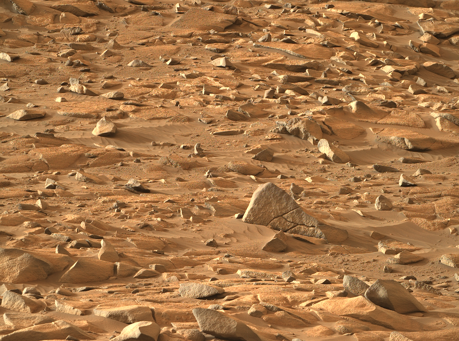
SuperCam & Mastcam-Z | Sol 1164 This image is a combination of one 110mm Mastcam-Z image and three SuperCam RMI images taken on Sol 1167.
I recommend to download the full resolution image, otherwise you won't be able to see the full resolution from SuperCam.
The images were color processed to approximately match what the human eye would see.
Credit: NASA/JPL-Caltech/ASU/Simeon Schmauß & Credit: NASA/JPL-Caltech/LANL/CNES/IRAP/Simeon Schmauß
Full resolution on Flickr - https://www.flickr.com/photos/semeion/53764409540/sizes/o/

L-MastCam-Z - NASA/JPL-Caltech/ASU/MSSS
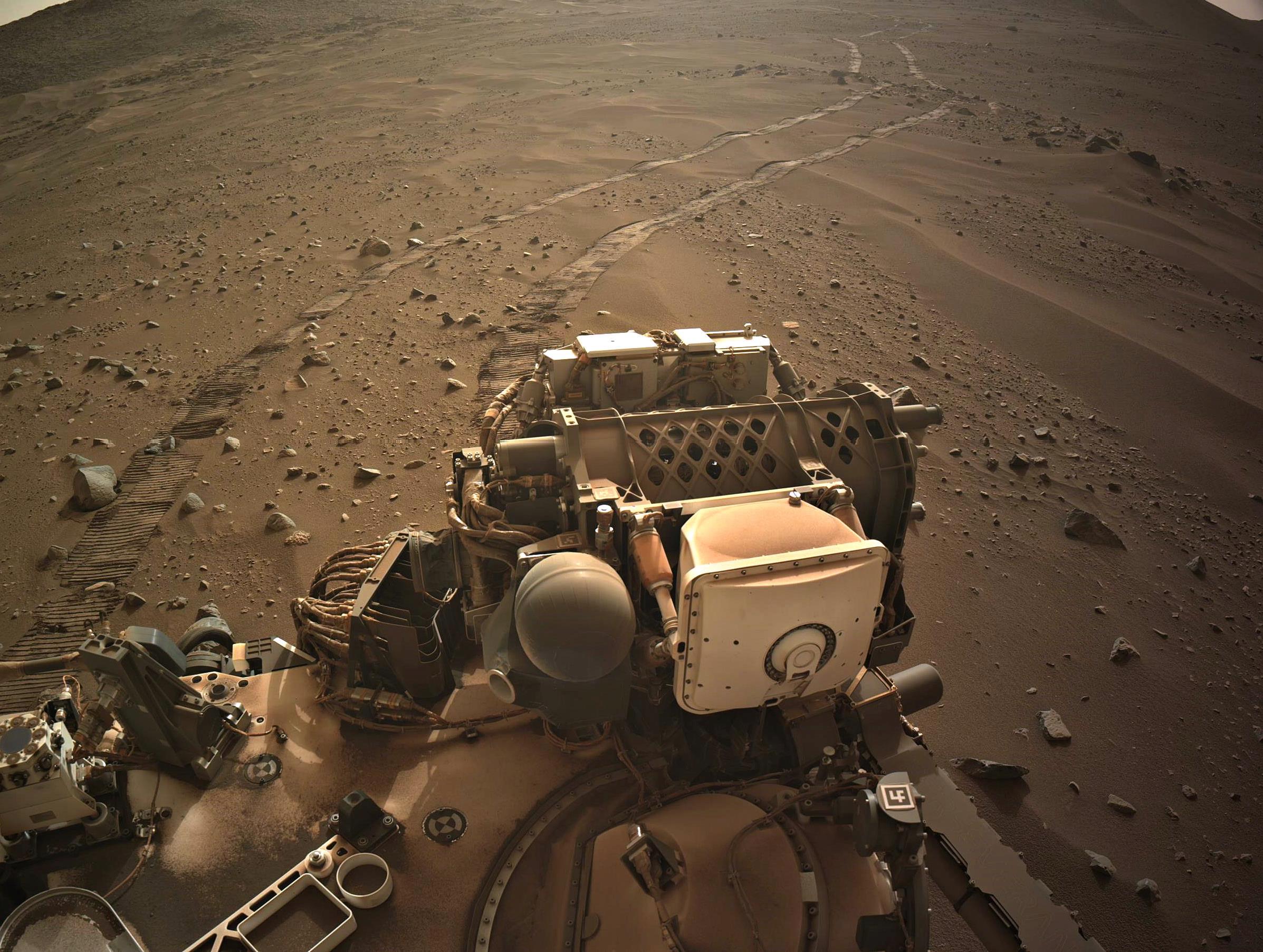
end of drive NavCam shows the tracks in the ancient river valley - credits : NASA/JPL-Caltech
R-MastCam-Z, zoomed at 63mm, acquired on sol 1152 after a drive to site 52.4312. The map has not been updated yet, nor has the JSON drive data been released (probably because of the holiday in the US), but it looks like a long drive.
This photo was selected by public vote and featured as "Image of the Week" for Week 171 (May 19 - 25, 2024) of the Perseverance rover mission on Mars. NASA's Mars Perseverance rover acquired this image using its Right Mastcam-Z camera. Mastcam-Z is a pair of cameras located high on the rover's mast. This image was acquired on May 24, 2024 (Sol 1159) at the local mean solar time of 09:14:47. Image Credit: NASA/JPL-Caltech/ASU/MSSS
end-of-drive NavCam looking East - NASA/JPL-Caltech
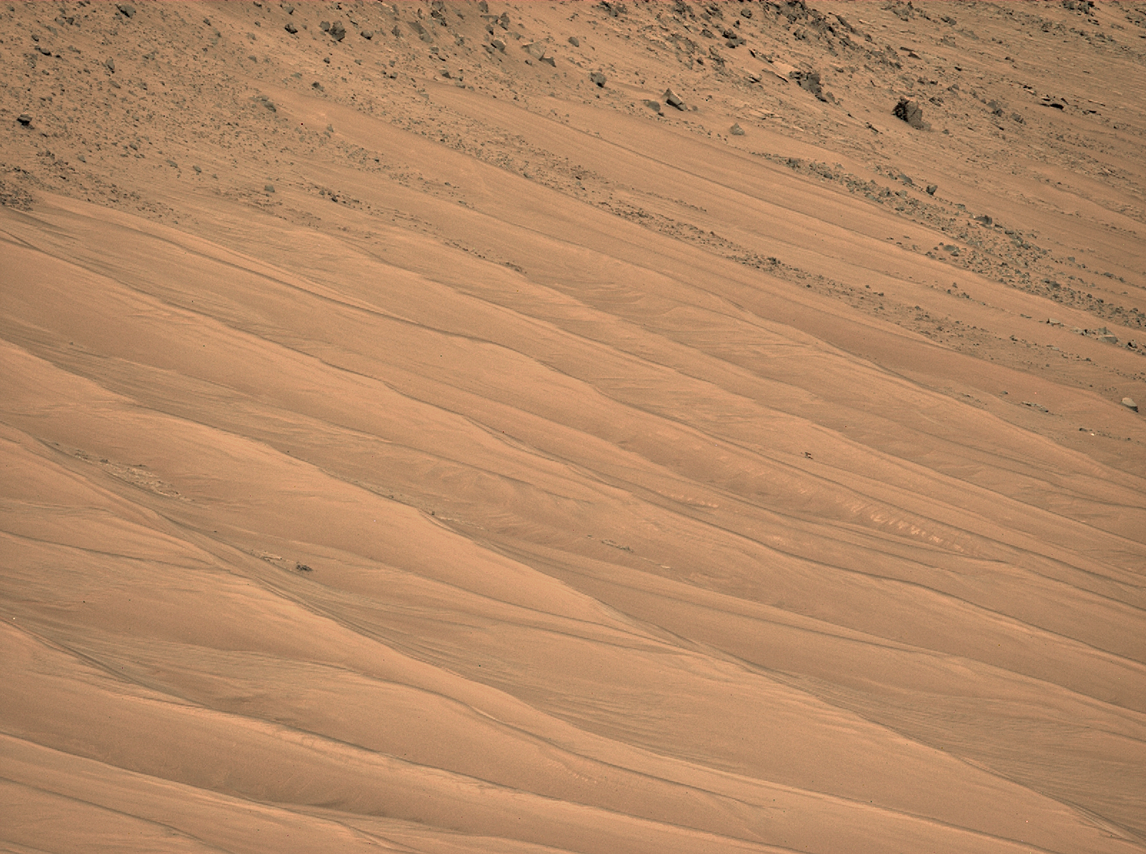
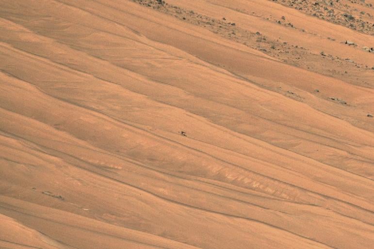
Middle of the frame, about one third of the way from the right side. Distance from the rover on sol 1152 was 636 meters (2068 ft)
End-of-drive tiled NavCam. Elevation change -6.8 meters
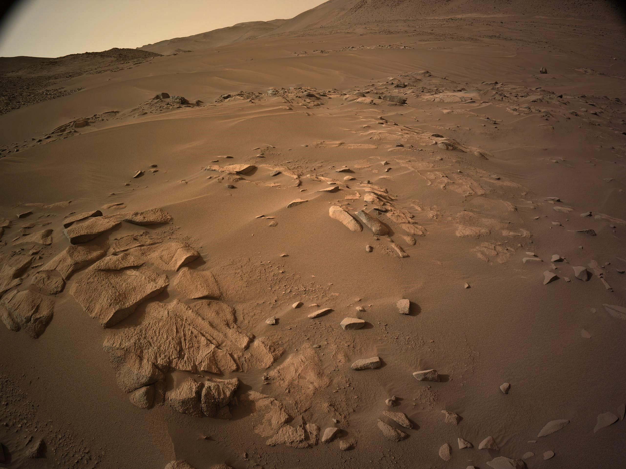
post drive tiled NavCam. Located on the south bank of Neretva Vallis. NASA/JPL-Caltech
screen grab from https://mars.nasa.gov/maps/location/?mission=M20
L-NavCam view (cropped) after the 40cm drive NASA/JPL-Caltech
MastCam-Z full zoom (110mm) credit: NASA/JPL-Caltech/ASU/MSSS
MastCam-Z full zoom sol 1152 - Looking down Neretva Vallis along the shore of the now sand filled ancient river channel. (heavily processed as the raw was overexposed) Credit: NASA/JPL-Caltech/ASU/MSSS

On the plains of Jezero, the secrets of Mars' past await us! Follow for the latest news, updates, pretty pics, and community discussion on NASA and the Jet Propulsion Laboratory's most ambitious mission to Mars!