No Stupid Questions
No such thing. Ask away!
!nostupidquestions is a community dedicated to being helpful and answering each others' questions on various topics.
The rules for posting and commenting, besides the rules defined here for lemmy.world, are as follows:
Rules (interactive)
Rule 1- All posts must be legitimate questions. All post titles must include a question.
All posts must be legitimate questions, and all post titles must include a question. Questions that are joke or trolling questions, memes, song lyrics as title, etc. are not allowed here. See Rule 6 for all exceptions.
Rule 2- Your question subject cannot be illegal or NSFW material.
Your question subject cannot be illegal or NSFW material. You will be warned first, banned second.
Rule 3- Do not seek mental, medical and professional help here.
Do not seek mental, medical and professional help here. Breaking this rule will not get you or your post removed, but it will put you at risk, and possibly in danger.
Rule 4- No self promotion or upvote-farming of any kind.
That's it.
Rule 5- No baiting or sealioning or promoting an agenda.
Questions which, instead of being of an innocuous nature, are specifically intended (based on reports and in the opinion of our crack moderation team) to bait users into ideological wars on charged political topics will be removed and the authors warned - or banned - depending on severity.
Rule 6- Regarding META posts and joke questions.
Provided it is about the community itself, you may post non-question posts using the [META] tag on your post title.
On fridays, you are allowed to post meme and troll questions, on the condition that it's in text format only, and conforms with our other rules. These posts MUST include the [NSQ Friday] tag in their title.
If you post a serious question on friday and are looking only for legitimate answers, then please include the [Serious] tag on your post. Irrelevant replies will then be removed by moderators.
Rule 7- You can't intentionally annoy, mock, or harass other members.
If you intentionally annoy, mock, harass, or discriminate against any individual member, you will be removed.
Likewise, if you are a member, sympathiser or a resemblant of a movement that is known to largely hate, mock, discriminate against, and/or want to take lives of a group of people, and you were provably vocal about your hate, then you will be banned on sight.
Rule 8- All comments should try to stay relevant to their parent content.
Rule 9- Reposts from other platforms are not allowed.
Let everyone have their own content.
Rule 10- Majority of bots aren't allowed to participate here.
Credits
Our breathtaking icon was bestowed upon us by @Cevilia!
The greatest banner of all time: by @TheOneWithTheHair!
view the rest of the comments

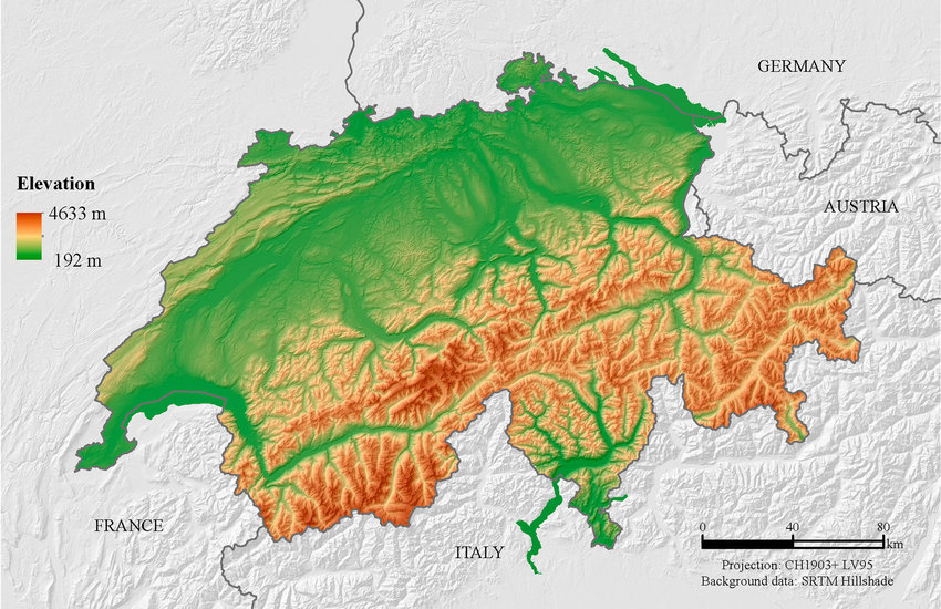
Inclination must be ignored for area to work on a map, plus the inclination ends up being lost in the noise on a large scale. It is very similar to the coastline issue where the more detail you include the longer the coastline gets until every coastline is basically infinite.
Let's take an area split into a grid. One are has a hilly round slope, one is flat, and the rest are a variety of combinations. If you tried to take slope into account the one with the round hill would require the straight lines of the grid to warp towards it like one of those space time curvature pictures. The one that is flat is the only one that could be square, and even then it only works if you count it as flat since even flat ground has a small texture.
So no, they don't take elevation into account for maps because it would be far too difficult to measure.
The surface area can only be calculated with a defined level of accuracy due to how textured surfaces work.
This is the same problem as with coastline length - the higher resolution you'll use, the bigger the number you'll get. AFAIK this is solved by just standarization of calculation methods - there's just certain rounding to be applied in all cases so you get a comparable results