this post was submitted on 15 Jan 2025
198 points (95.0% liked)
Map Enthusiasts
3651 readers
354 users here now
For the map enthused!
Rules:
-
post relevant content: interesting, informative, and/or pretty maps
-
be nice
founded 2 years ago
MODERATORS
you are viewing a single comment's thread
view the rest of the comments
view the rest of the comments

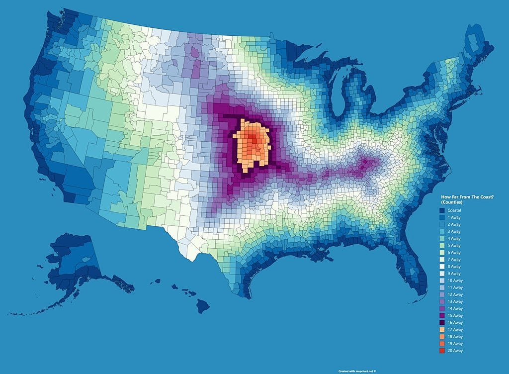
It's like the electoral map
I think if you plotted political inclination as a function of distance from coast, globally, you might find quite a good correlation. Various plausible explanations. For example, in tougher mid-continental climates you need to store and protect stuff to survive the winter / dry-season, so people there evolved (including self-filtering migration) to have more tribal loyalty.
Hmm always thought it's cause big cities need big fresh water, that's why there's a good chance that historically they formed near streams/lakes. Typically near the coast rivers slow down and branch out, giving good access to natural resources and also trade. Trade increases prosperity and exposure to other cultures.
Indeed trade links relevant, so navigable rivers played a big role - before railways, our main transport was either boats or horses (or camels). Horses needed a lot of grass, which thrives in drier mid-continental climates where trees don't survive wildfires. For example the Mongol empire was good at trade and connecting cultures, covered a huge area, but not (for long) near coasts, and still demanded intense tribal loyalty (elements of such culture was absorbed by the next empire which gradually pushed it back...).