Thanks! TIL about EveryDoor.
Free and Open Source Software
If it's free and open source and it's also software, it can be discussed here. Subcommunity of Technology.
This community's icon was made by Aaron Schneider, under the CC-BY-NC-SA 4.0 license.
Enjoy and thanks for contributing!
Oh nice, I've thought about contributing to osm for a long time but this makes it so much easier to do that!!
I've looked into what I can do in my close vicinity and there are many roads that still miss their width. However, the app suggests to install an app (streetmeasure) to measure the width. This app is however based on Google AR services (that don't work on my degoogled phone. How do you guys deal with that? Do you just ignore those tasks or do you guesstimate the road width by eye?
Oh, and another thing: If you like something to do on your walks, may I suggest also looking into iNaturalist (and the companion app Seek), too. While you are walking around you can find so much stuff out there that you've previously overlooked. When I go through any street now I spot bugs and plants everywhere!
@flora_explora @Kualdir
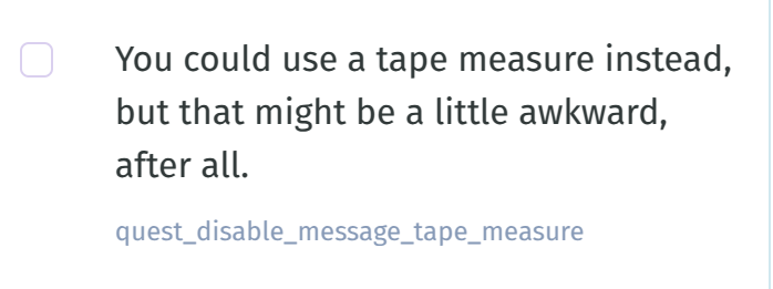
I think here's the answer for you (from the translations) :tony_laughing: :mastostuck_out_tongue_winking_eye:

If I wanted to add some off-road bike trails to OSM, how would I got about doing that?
This page has some useful information: https://wiki.openstreetmap.org/wiki/Bicycle
There's a section there about off-road trails
Another who loves Street Complete. Makes my evening walks less random. I love the idea of using open street maps, but the one thing keeping me on google is the real time traffic redirecting 🫤 I do use organic maps for hikes, it's great for offline. I just wish there were some better option for traffic.
Can't we just scrape Google maps and add things to OSM? 🤔
There is an old tradition of mappers deliberately placing very small errors to be able to verify the copying of a map. So no, scraping big chunks is a bad idea. But I sometimes check details on the Gmaps satellite image or streetview.