OpenStreetMap community

4105 readers
23 users here now

Everything #OpenStreetMap related is welcome: software releases, showing of your work, questions about how to tag something, as long as it has to do with OpenStreetMap or OpenStreetMap-related software.

OpenStreetMap is a map of the world, created by people like you and free to use under an open license.

Join OpenStreetMap and start mapping: https://www.openstreetmap.org.

There are many communication channels about OSM, many organized around a certain country or region. Discover them on https://openstreetmap.community

https://mapcomplete.org is an easy-to-use website to view, edit and add points (such as shops, restaurants and others)

https://learnosm.org/en/ has a lot of information for beginners too.

founded 4 years ago
MODERATORS
1


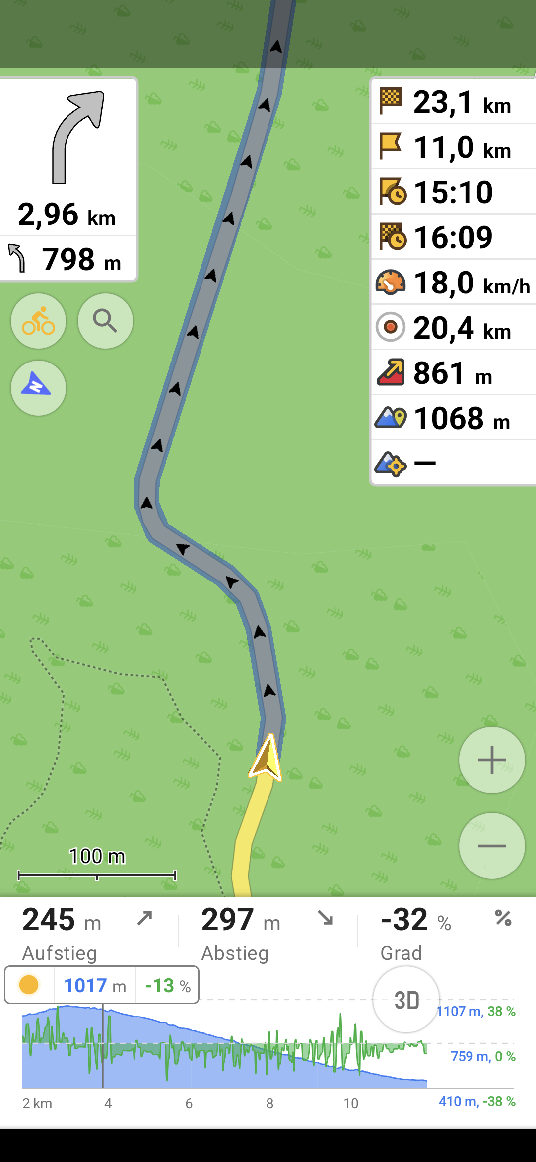
I am using a fresh osmand install, and now I have this widget on the right showing the wrong altitude. Always about 50m too high. The bottom widget shows the correct altitude however, that is kinda weird. I have updated the app now, but same thing.

Using f-droid latest version, but this happened also with the one I had before (4.85). I am also using brouter plugin for navigation, maybe the correct altitude comes from there idk. The wrong one is also displayed when in the default profile with no brouter involved.

Anybody else seeing this phenomenon?

Oh and the "centre map" altitude doesn't seem to be working at all, but I don't need that anyway.

2
3
4


I've been playing around with Google Maps lately to create custom maps.

I don't like google but have no experience with any other apps and have never tried mapping of any sort before.

I'm trying to create a map layer(s) that has historic sites, stone circles, woodland, cemeteries, UNESCO sites etc. So if I'm traveling I can stop and see them.

I've created my own Google Map using lists of sites from Wikipedia. This has gone ok but leads to a lot of data cleansing and the functionality isn't great.

I've seen this website but it isn't as complete as the Wikipedia text lists ive imported: https://www.hmdb.org/

I'm completely new to this and have no experience. Are there any good resources out there for me to use or contribute to?

I'd like to de-google as much as possible.

P.S. do I need to enable developer mode or root my phone to install open street map now?

Thanks!

5


@openstreetmap A while ago I've seen a before-after screenshot command line tool for osm mentioned somewhere but I cannot find it anymore.
I believe it was written in python.
Does anyone know the name of the tool in question?

#OSM #OpenStreetMap

Edit: Thanks to @richlv , this is it: https://github.com/amandasaurus/osm-mapping-party-before-after

6
7


When I read about Overture Maps like a year or 2 ago, it seemed to me that basically they were going to create a whole new thing from scratch.

Let's be honest, with enough resources, it's easy to see that they could pull off some kind of OpenStreetMap 2.0, where all the issues from OSM are modernised and cleaned up.

What's really going on? Are we getting something soon from these people? What's the relationship with them?

On their website, they say "coming this fall". Are you excited? Scared? What should I think?

8


I've encountered some conflicting usages of Tag:landuse=residential. Some areas are very specific, and broken down into individual blocks, while some areas cover multiple blocks. Here's an example of both styles adjacent to each other:

https://www.openstreetmap.org/way/653823458

https://www.openstreetmap.org/way/652122607

The wiki doesn't really say much on the topic. Does anyone have opinions/rules of thumb on how to tag them exactly? It seems like all adjacent areas not separated by major highways should be joined together?

I've encountered some residential areas that are broken down into mapping each block, and literally follow the curb, rounded corners and all. That seems too specific?

9


I'm looking at Tag:crossing=marked, and it's a little vague. It says:

Set a node on the highway where the transition is and add highway=crossing + crossing=marked.

If the crossing is also mapped as a way, tag it as highway=footway footway=crossing crossing=marked or highway=cycleway cycleway=crossing crossing=marked as appropriate.

Doesn't that violate the principle of One feature, one OSM element? For example, here's a crossing from where overpass-turbo defaults to showing:

https://www.openstreetmap.org/node/7780814396

https://www.openstreetmap.org/way/833493479

You've got a way with these tags:

crossing=marked
crossing:markings=yes
footway=crossing
highway=footway
surface=asphalt

And the intersection node with the street it's crossing has these tags:

crossing=marked
crossing:markings=yes
highway=crossing
tactile_paving=no

Shouldn't that be one or the other? It makes sense to me to represent the crossing as a way with all the tags, and leave the intersection untagged. I noticed though that StreetComplete doesn't really like that, and will give you quests to add tags to the intersection node even if the way is properly tagged.

10


Just a super quick question about helping to update the map locations.

Between StreetComplete and Organic Maps, which is faster for submitting recommended changes to the OSM team in regards to things like business hours, etc...

11
12


Some really cool transit map generation from OSM data. There's an online demo you can play with here.

13


One shows only a few shops, often the ones that pay the most, the other shows the true number of different places in the area.

14


@osmand why are you so slow? this is a brand new samsung galaxy s24+

@openstreetmap

15


@openstreetmap Is there any documentation on mapping individual small plants like flowers or cacti?
I'd like to start mapping botanical gardens but cannot find any information on this.

16
17
18


Das Atomium in #Brüssel, gerendert in #cgeo auf der 3D #OpenStreetMap #Freizeitkarte sieht lustig aus.

@openstreetmap
@geocaching_de

19
20


cross-posted from: https://discuss.tchncs.de/post/21076796

xkcd #2977: Three Kinds of Research

alt text:

The secret fourth kind is 'we applied a standard theory to their map of every tree and got some suspicious results.'

https://explainxkcd.com/2977/

21


Hi is there some project, instructions or some github repo for converting 360° video and GPX file to something like street view?

I would like to map this way local cycling routes.

22


I have recently got into mapping traffic signs and speed limits where I can, but I realised I don't know what to do when mapping differing speed limit signs that are offset from each other. It's a transition from a 50km/h zone to a 60km/h zone but the signs are offset by 65m, making a sort of "no-mans land" in-between. I plan to map it with the in-between zone tagged with separate maxspeed:forward and maxspeed:backward tags. I assume it should be done this way because as a driver on the ground I would follow the speed limit signs on my side of the road as I passed them, having no knowledge of the reverse sign.

I guess I'm wondering if this is a logical way to map this?

23


I recently got a Pixel and installed GrapheneOS on it. I would like to add some places to the map. Is there anything I need to know regarding preserving my privacy while contributing?

Thank you for any advice.

24


It's a key feature of Google maps that I don't have a great replacement for. I assume moderating the reviews would be a significant challenge for the project.

25
65
submitted 4 weeks ago* (last edited 4 weeks ago) by randomaccount43543@lemmy.world to c/openstreetmap@lemmy.ml


Henry@hl@social.lol

Glad to see the great job @openstreetmap and @organicmaps are doing. For cycling to the zoo's main entrance, where I can buy entry, they suggest a sensible route. #Google maps seems to suggest I go through the zoo, possibly via the tiger cage.

https://social.lol/@hl/113047359789803891


Dawid Rejowski@didek@101010.pl

@hl @openstreetmap @organicmaps

Also somehow ZOO looks more like a ZOO.

Here I needed a while to understand what is that place. Only after reading the labels I understood it is the center of Warsaw, a place that should be one of the most recognizable places in Poland.
Compared to OragnicMaps, with rich colors, colorful Metro icons, building shapes and rails, Google Maps looks very blended.

https://101010.pl/@didek/113050389244877936

view more: next ›