
Thanks MapGPT
A community for Cartographers with nothing left to lose.
Rules:
Don’t be awful Lemmy Guidelines Still Apply.
We are agents of chaos I’ve created this to be the alternative to the community I used to manage on the website that shalt not be named “mapporncirclejerk”
Live and let die Meme trends happen, so please don’t message mods asking to take down maps that are repetitive to a bit.
Reposts Vs. Covers Not all reposts are evil- if someone posts something that has been done years ago, it serves to bring old memes to the new users. I call these meme covers. However it can be done in excess which makes it a repost and spam. Mods will determine if a post is a cover or a repost.
No impersonating mods I can’t believe I had to make this rule.
No harassing mods on an appeal We can talk it out, and we will be acting in good faith when making decisions. If you disagree with a removal, you are free to message for clarification or to appeal by giving some added context.
Bans Bans will be set to a maximum of 365 days for humans, and a minimum of 365 years for bots. I believe people can change, so if you are banned for good reason, do know that it is not permanent, it is just a way to say “take time to grow and come back when you are ready”.
Thanks MapGPT
The cost of Trump's wall is gonna bankrupt us
all my dakotas gone
The longer you look, the more ridiculous the names are. "Ohio", what the hell kind of name is that?
Fuck, I'm still in Mississippi ☹️
Thank God for Mississippi! Even when there are 138 states.
If Mississippi fell into the Gulf of ~~Mexico~~ ~~America~~ Oil, nobody would miss us.
Miss who?
issippi
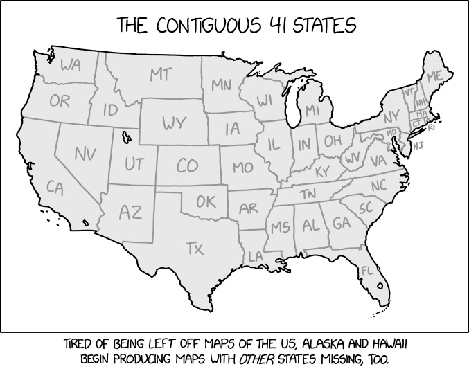
They forgot Alaska and Hawaii
No, they were deported, obviously.
Ah, brings back all those summer memories I would have made at Lake Doramos.
The Trankish/Fitretion shore is nice, I guess, but when you live nearer the Canadian border and end up vacationing in Mesfate, you look forward to going back to school.
Ronald is really beautiful this time of year.
I’m still salty we didn’t get New Canada
Things have certainly changed since I was in school. But, that was 40 years ago, so IDK.
Why does Central Trankland get that big island in the middle of Lake Doramos?
Um, hello - War of 1831 anyone?
They must have gotten their history education in Zackers.
The confusion regarding the Midwest is exacerbated exponentially
Kansas looks in the mirror and sees Chaster.
And Nebraska sees Oyblaf.
Honestly, as a European I dare say most Europeans couldn’t name all 50 states, and definitely not place them on a map.
I’m confident I could correctly place Texas, Florida, probably California and maybe Kentucky if the borders were drawn.
Naming more than one or two state capitals? Forget it!
Edit: quite sure about Alaska and Hawaii too, but I forgot those (see!).
Yeah, but the average us-american couldn't even begin to name the départements of France for example. Or anything on the scale of NUTS1 in Europe or Brazil or China.
Why Kentucky?
as a european its the KFC plate the chef with the big chef hat is holding
Exactly this.
I only know solid, liquid, gaseous, and plasma. :(
You know more than you might think.
Glass is an other one. Superfluids, Supersolids, condensates, superconductors, you might know as well.
Then there are the others: liquid crystal, microphase, fermionic condensates, degenerate matter, quark matter, color glass condensate, string-net liquid, superglass, chain-melted state, quantum hall state, and photonic matter.
All these newfangled snowflake states of matter! When I was young in 1874 there were only three and we didn't need any more!
i would absolutely play this tabletop setting
Obesity is a real problem everywhere, not just us but in Mexico and Canada too.
I think we would have an easier time naming the 40 provinces of canada.
We'd struggle with naming all 50 states of mexico.
Proud Onfremer here - Go Fightin' Zyglars!
Most glurons can't name them all either. All Hail Mono!
This sounds like a mixture of prescription drugs and made up english towns
This map brings up so many questions. One could assume that some sort of magic shifted the earth enlarging it, or it's an alternate reality of some sort. How does politics work in this version of America? This is easily twice the area of the real USA, I imagine it's basically impossible to govern these lands federally. It's already difficult enough as it is in reality with all these incompetents in charge.
What would the population look like? Would it be the same in all real states and a proportional amount in new ones? Or would it be more spread out, with urban centers farther apart?
Is there a source for this image? Like, is there a preexisting lore for it? Or can I roll with this and have fun?
realistically the west coast would either be Spanish or maybe japanese
There's a high probability that the rest of the world is wider as well.... since it seems like the states never grew higher.... is there a whole new section at the equator filled with new continents/countries?
London has 12 Grimmauld Place. The US has 88 states hidden in plain sight.
Lake Doramos is ENORMOUS. Easily the largest in the world.
The U.S. has 4 of the 5 largest freshwater lakes in the world; Doramos, Superior, Huron, and Michigan. Nature is beautiful!
I ❤️ Shandle
Hello from sabmeg!
POV you're playing geoguessr and the map is long flat expanse in the middle of bumfuck nowhere but you know it's the US because of the roads and yet have no idea other than it's a random midwestern/plains state
looks at image for 0.5 seconds
"This is the gradient of western Kansas."
-Rainbolt, probably.
I want a huge Shandle shaped sticker.